GeoSlam
Quick Summary
GeoSLAM Connect is a smart software platform and comes as standard with any ZEB system. Create clean, georeferenced point clouds automatically.
It uses the SLAM algorithm (GeoSLAM Beam) alongside 3D visualisation of your data, additional processing and filtering, workflow automation tools and integration into third-party software applications. With the press of one button, your data will be automatically processed, saved in a folder of your choice, and prepared for the next step of your workflow.
Installation
1. Install
Download the GeoSLAM Connect software bundle (this includes the GeoSLAM Licence Manager tool), and open the download file to install.
GeoSLAM Connect software bundle
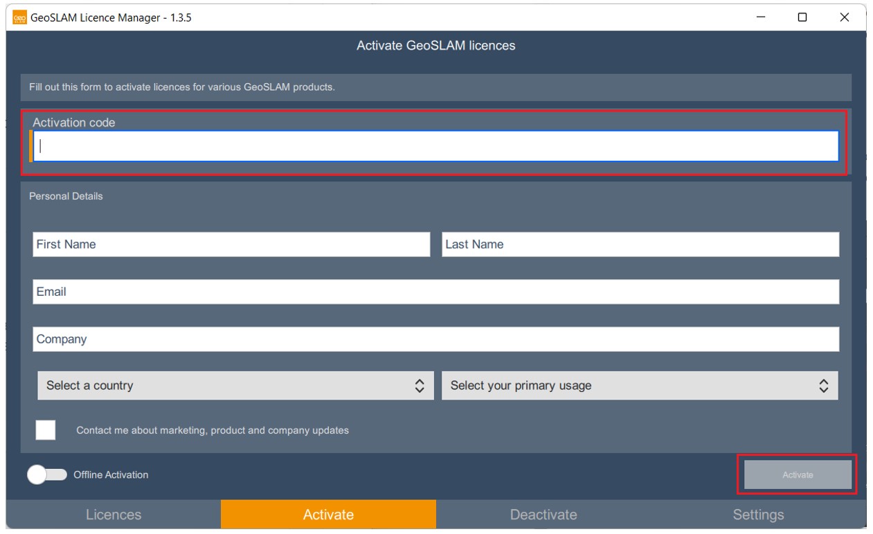
2. Activate
Open the GeoSLAM Licence Manager tool and activate your Connect licence using the code found on your GeoSLAM Care certificate.
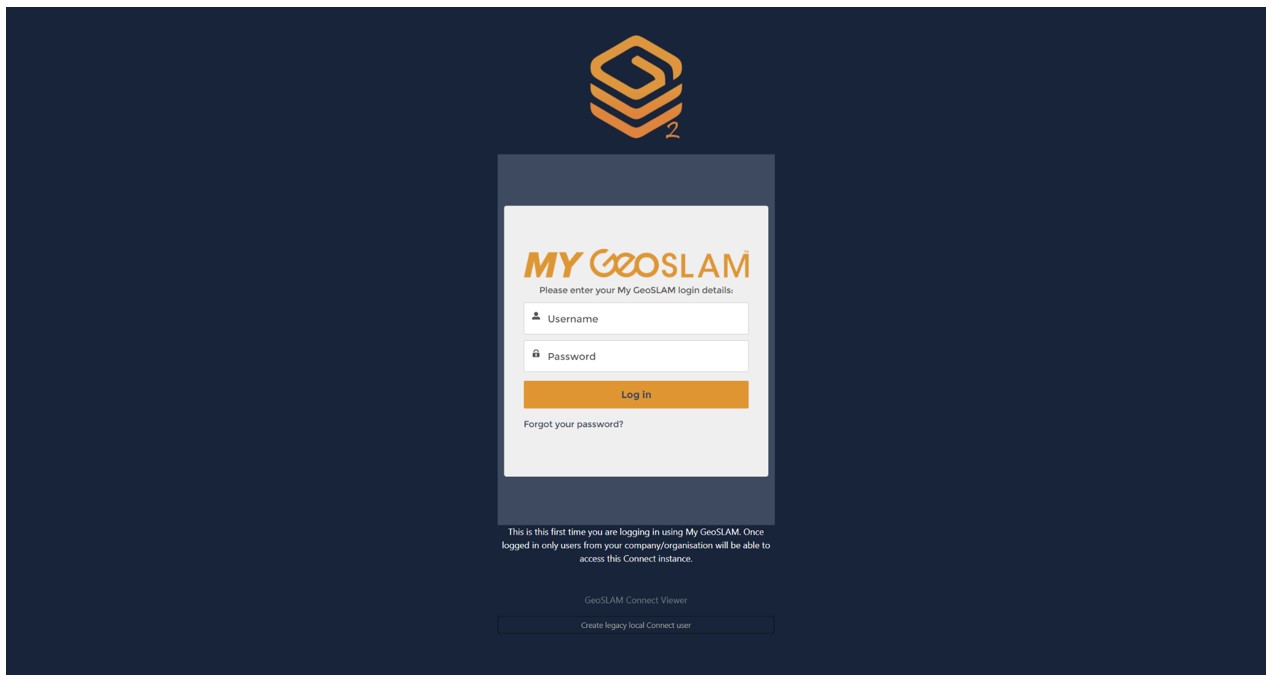
3. Login
To open GeoSLAM Connect and register your My GeoSLAM account by entering the username provided by GeoSLAM (this will have been sent via email). If you haven’t received a username, please contact support@geoslam.com
4. Process
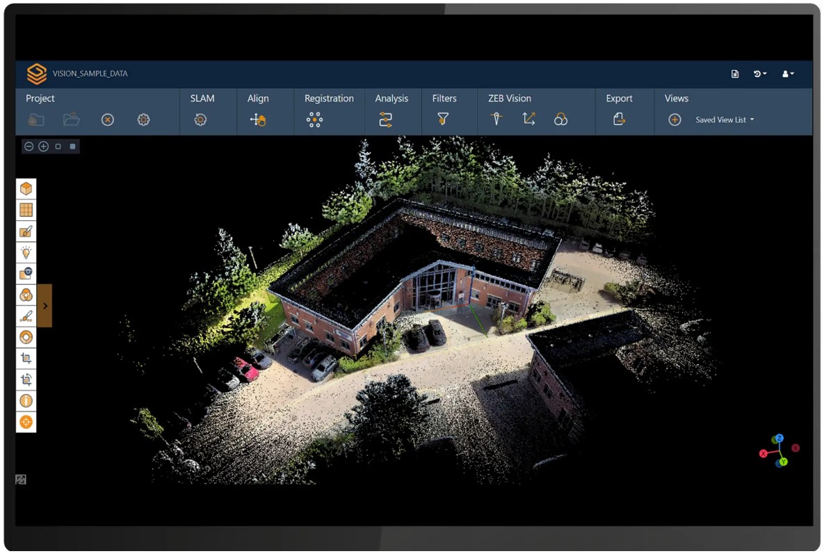
GeoSLAM Connect is now ready for you to use and you can begin to process data using the workflows available.
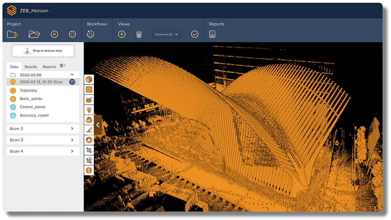
Scan Project Workflow
Data Import
Drag and drop datasets into Connect where a pre-selected workflow will automatically begin processing. Datasets can also be browsed and selected for upload.
If you want to create floorplans
GeoSLAM Floorplans combines hardware, advanced SLAM and analytics to give you the information you need to create accurate, rapid floorplans.
- It starts with SLAM
SLAM (Simultaneous Localisation and Mapping) creates a digital model of a site, by using a handheld mobile scanner.
- Capture
Using GeoSLAM’s mobile mapping system, capture measurements by walking freely between rooms and floors. As you walk around a property, 43,000 invisible, harmless laser beams are emitted each second, and this is what forms a digital map.
- Process
Plug your ZEB scanner into a computer, and we’ll automatically process the data using our smart data platform, GeoSLAM Connect. We can set the file to be automatically saved to a network folder of your choice, each time a scan is completed.
- View
See your digital capture in minutes.
- Create
Automatic slices of each floor extracted from your 3D model, and your floorplans are ready.
- Where next
Your floorplans can be exported and uploaded to other software, such as Floorplanner.com